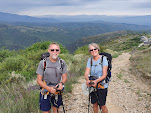
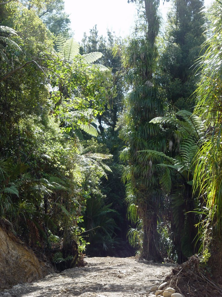
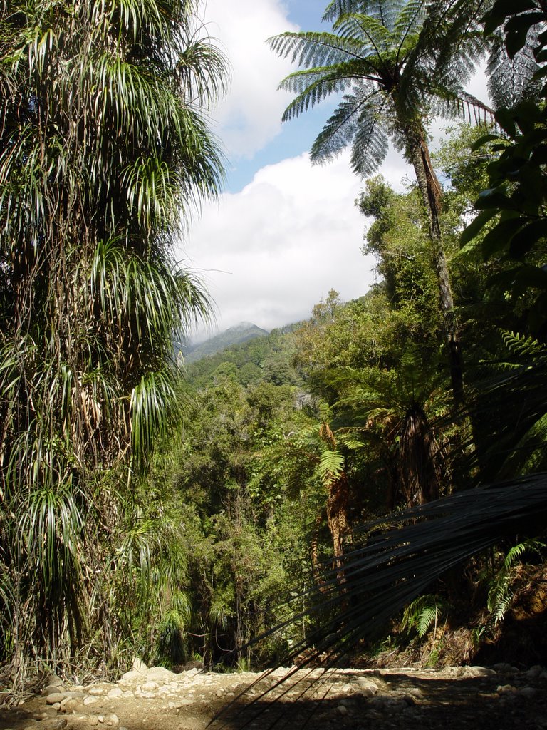
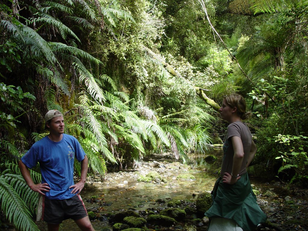
Wednesday, December 21, 2005

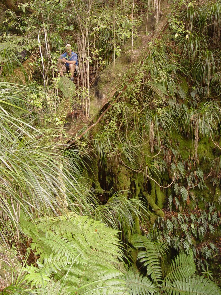
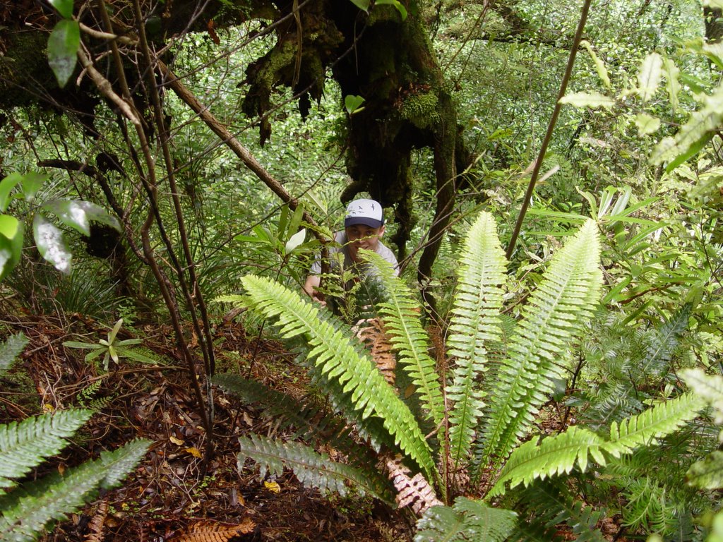
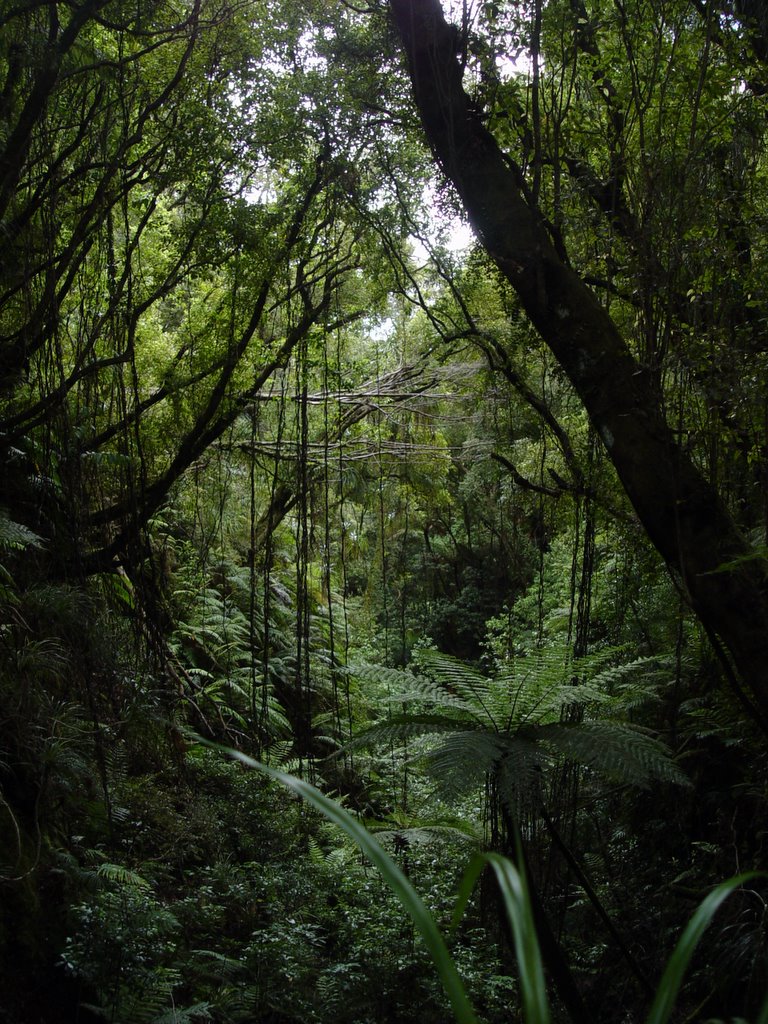
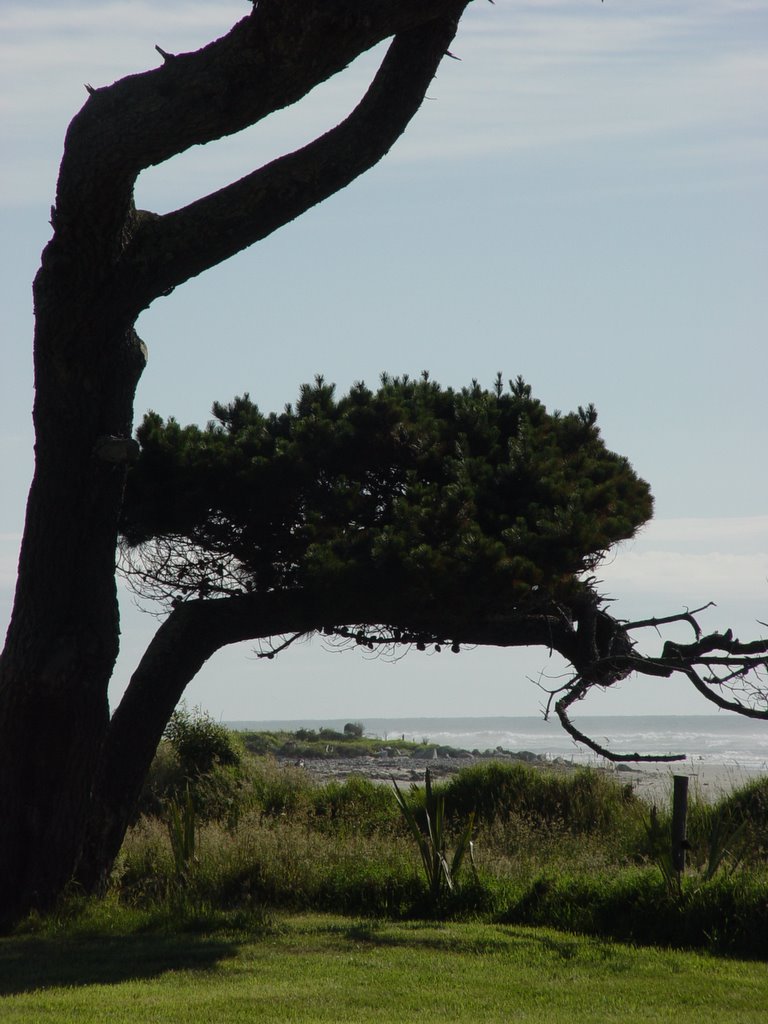
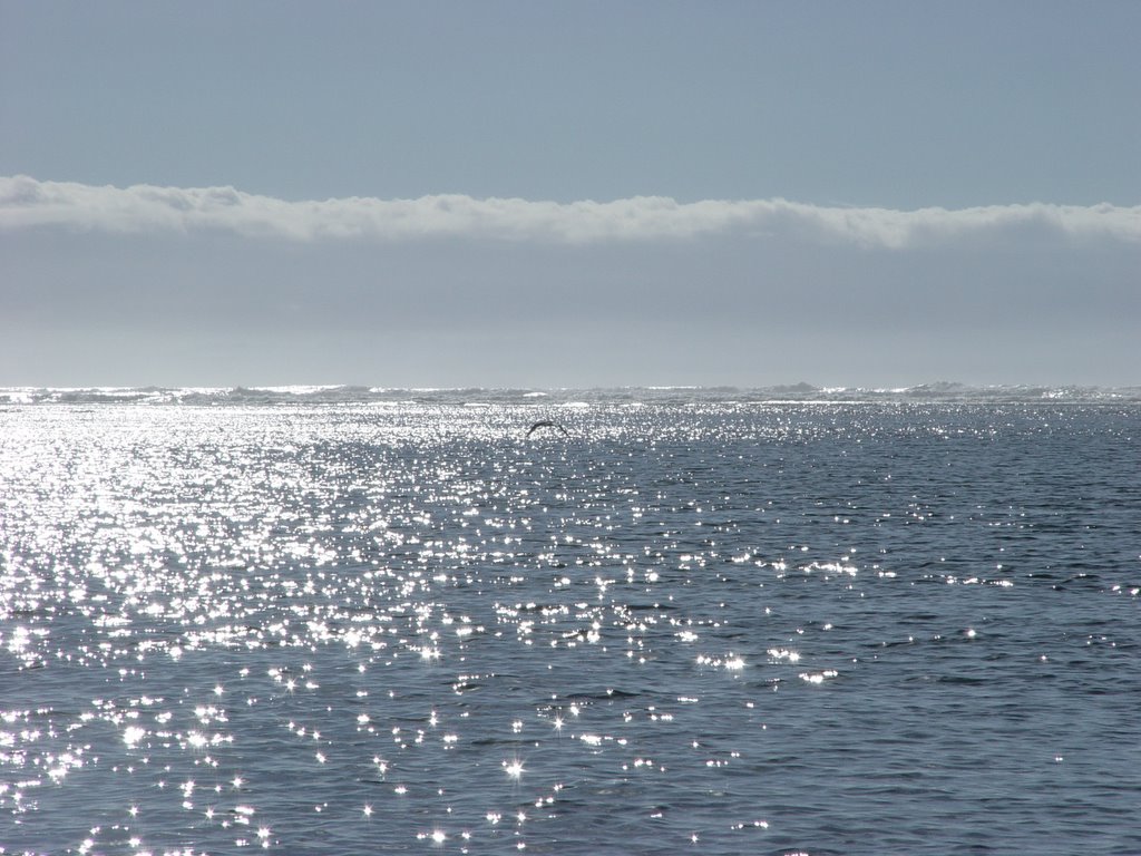
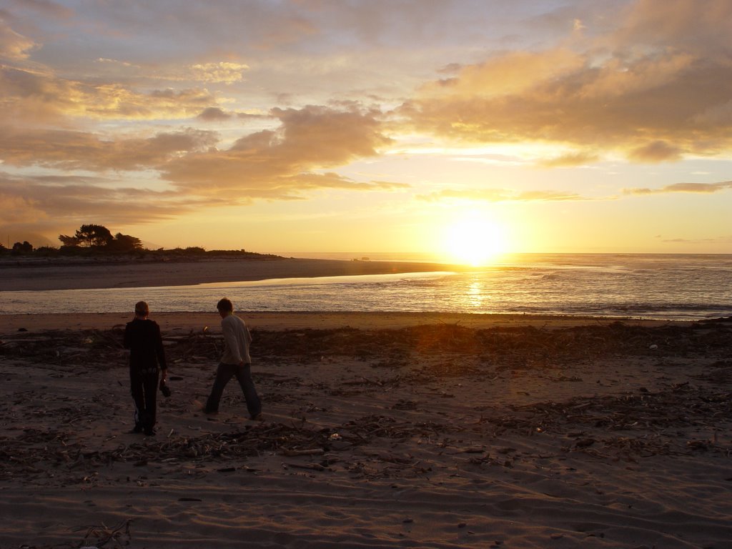
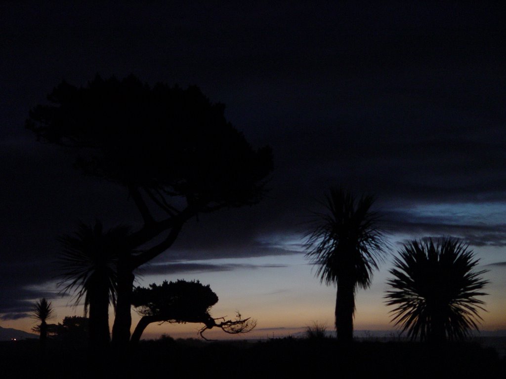
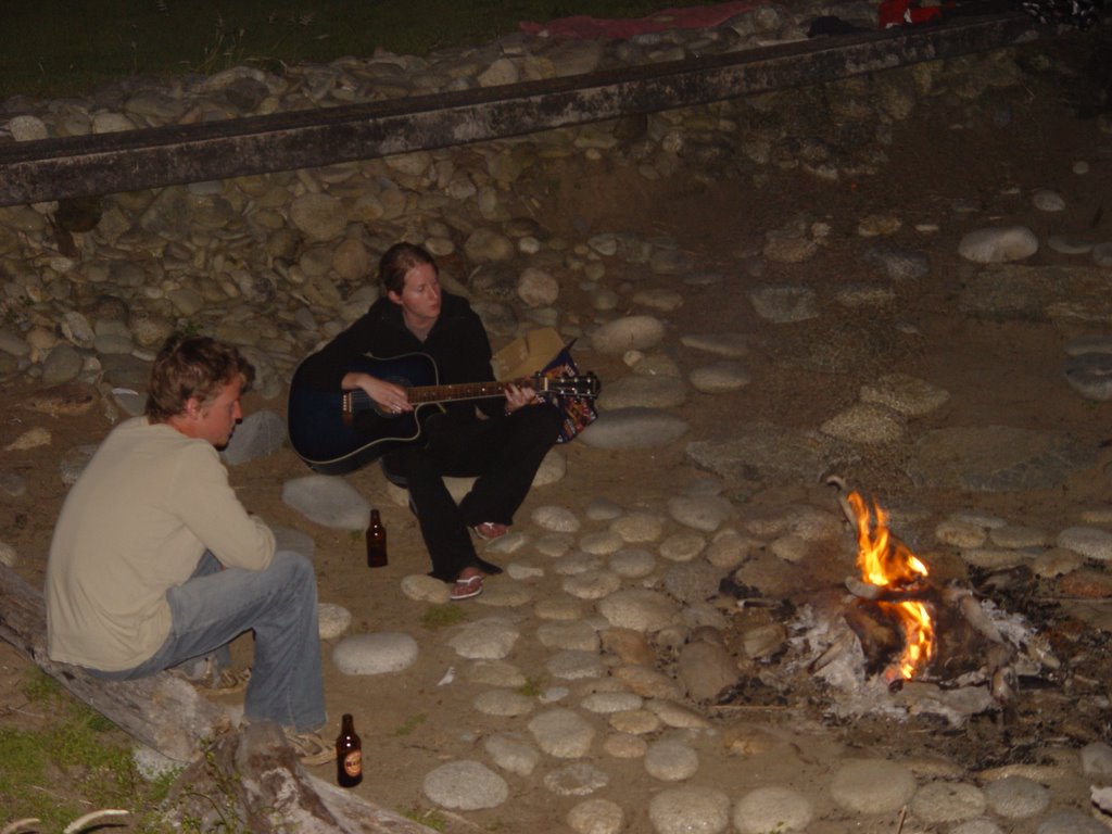
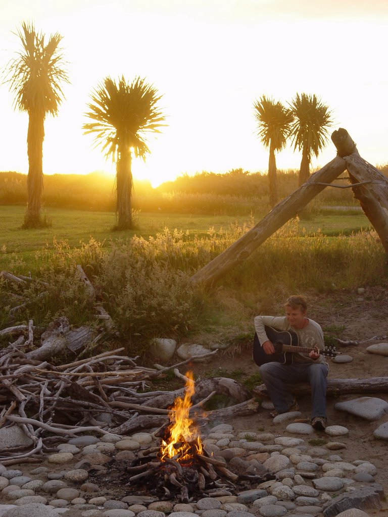
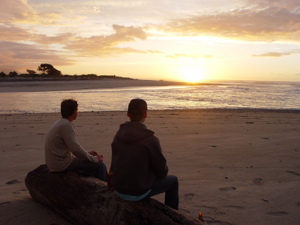
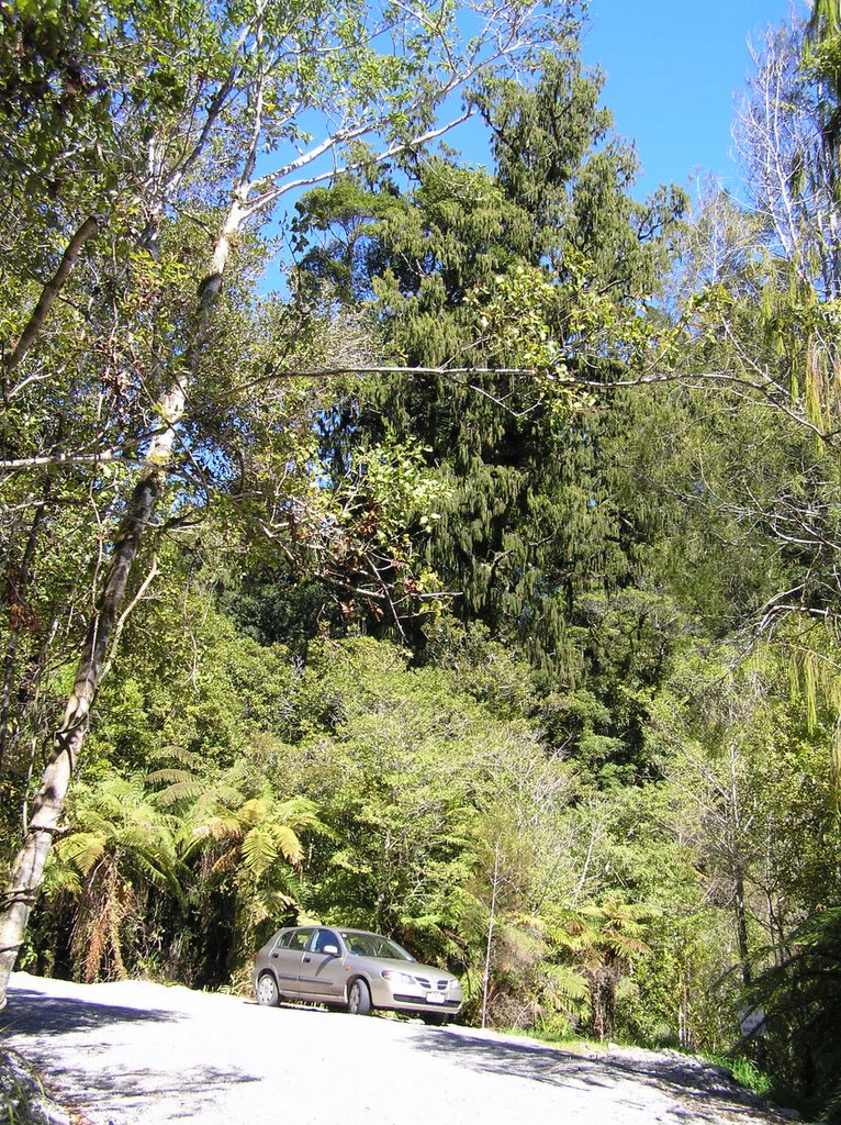
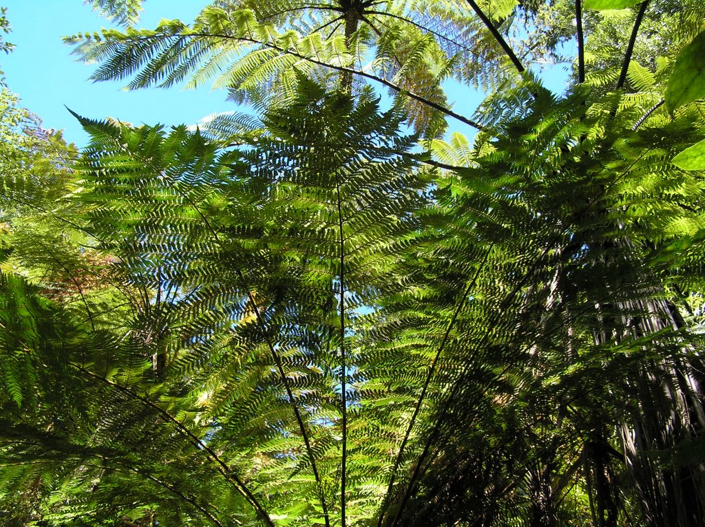
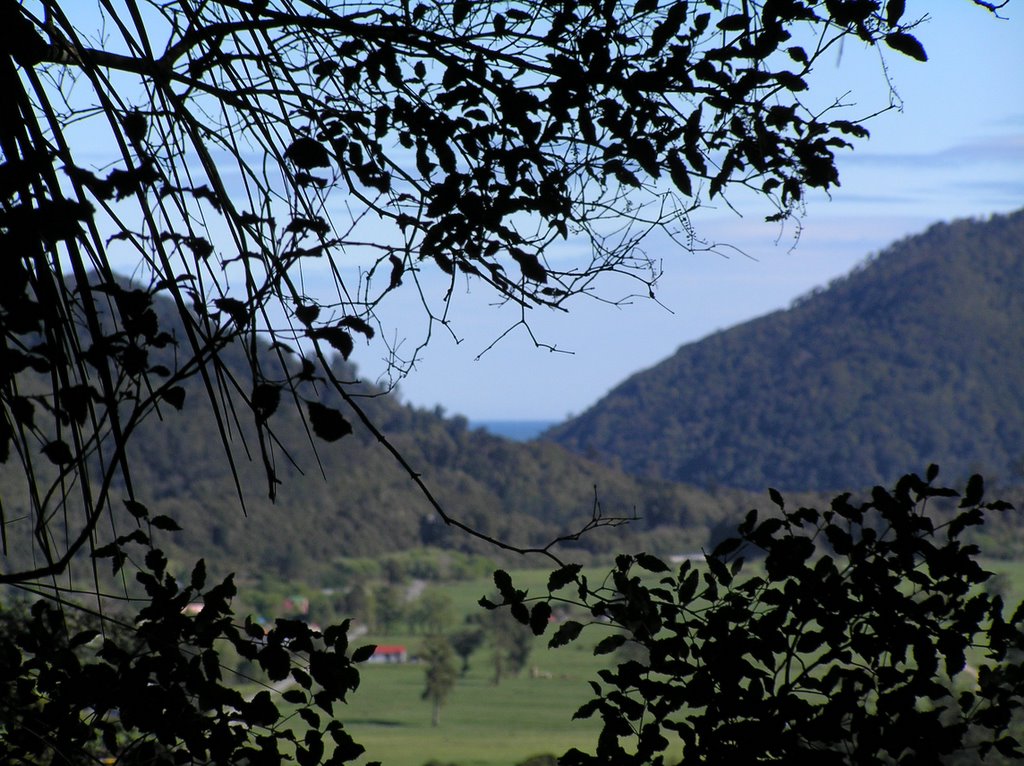
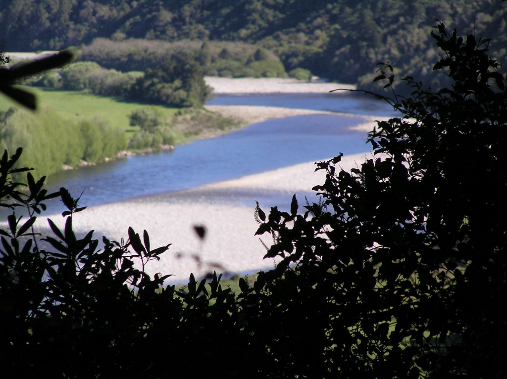
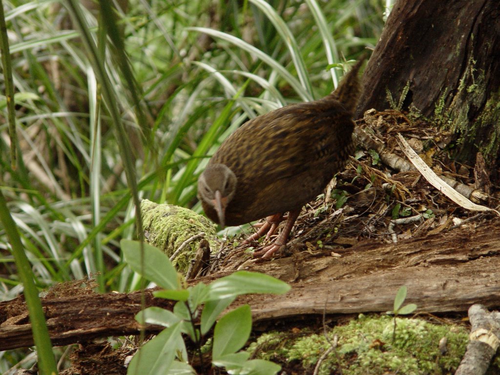
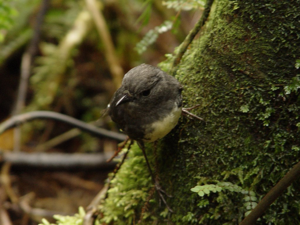
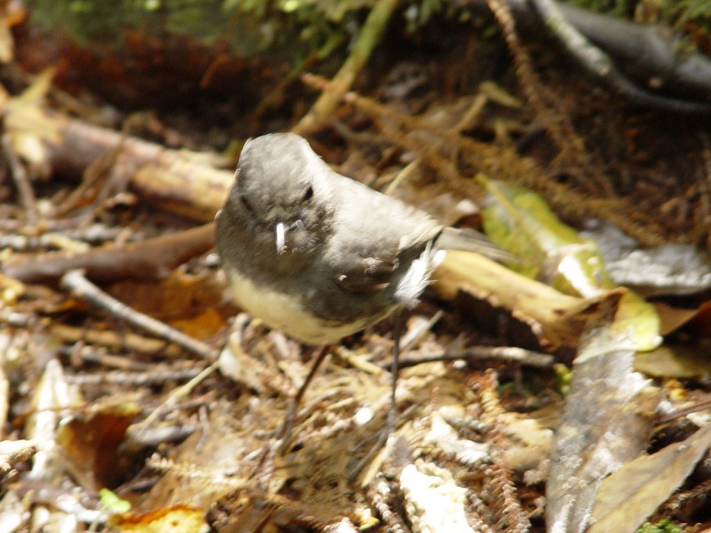
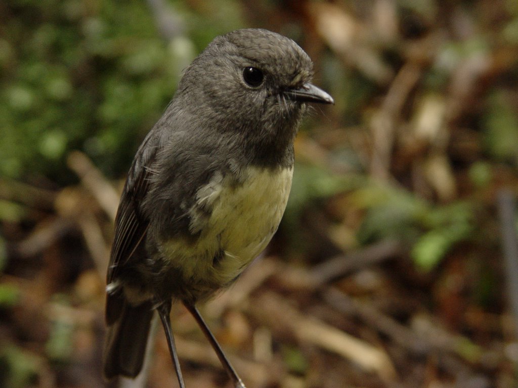
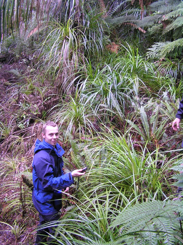
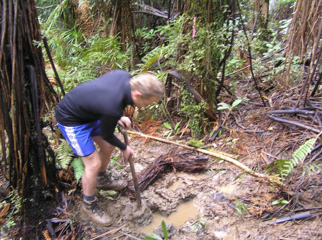
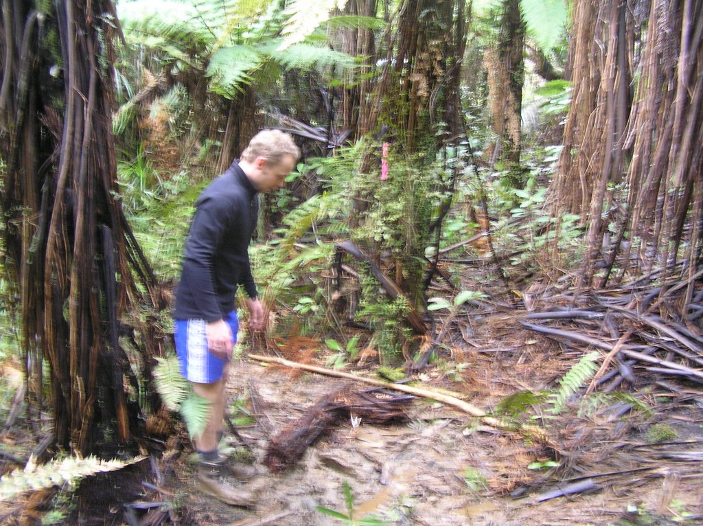
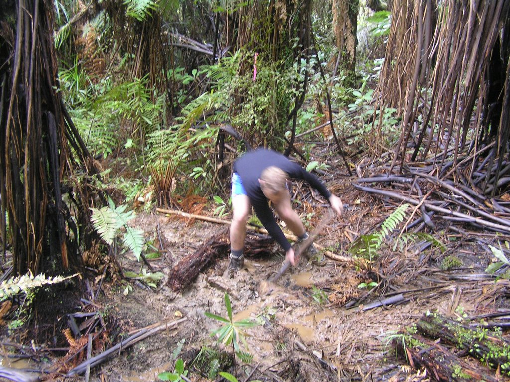
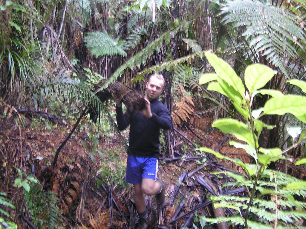
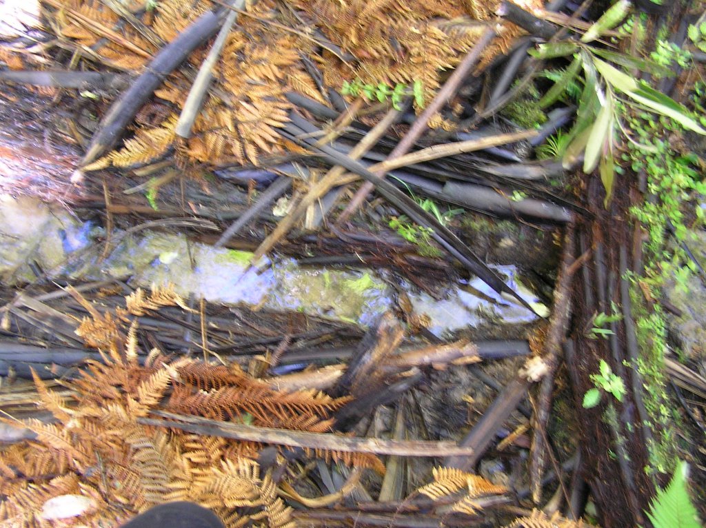
On 16/17th December 2005 Nathan & Bridie plus Bridie's brother Bernard visited Old Forest - took many photos of the driveway which is presently being made up into Old Forest. They also explored the small canyon and went down to Murphy Creek then camped the night at Gentle Annie beach camp by the Mokihinui rivermouth. Below are their photos.
Views of the driveway that is presently being made up into Old Forest.


Views of the driveway & trees along edge.

Bridie & Bernard at Murphy Creek
Nathan and Bernard exploring the small canyon. They didn't take cameras down into the canyon as it is so steep.


Looking down into the canyon.


Gentle Annie beach & Mokihinui rivermouth


West Coast sunset at Gentle Annie Beach.
Nathan, Bridie & Bernard at Gentle Annie camp & on the beach.


Saturday, November 26, 2005

Early in October we spent a week or so exploring Old Forest, finding all 9 of the surveyor boundary pegs and walking over as much of the property as possible, also working out where a driveway could be made. Below are the photos we took.
At the top of Mokihinui Preserve Road, the tree ferns are at the start of Old Forest.

The tall trees above our car are on Old Forest.
Looking back down Mokihinui Preserve Road.

The tops of mamaku, also known as black tree fern or king fern.


Some of the big trees

View north from ridge looking out to the Glasgow range.


View looking west from a ridge on Old Forest, Seddonville can only just be seen at bottom left through the leaves. The wee glimpse of blue in the V of the hills is the Tasman Sea.

View of Mokihinui River from the ridge.


Nathan's photos of a weka that came looking to see what insects we were disturbing. He even tried to drag Nathan's day pack away!


Nathan's photos of a beautiful South Island Robin who came to see what we were doing on Old Forest.

Jeff helping Marilyn who has fallen down again.......... it's such a rough piece of land that this happened many times!!


Jeff and Nathan using a GPS to try and find positions on Old Forest, such as the boundary pegs, there are 9 of them. It is difficult to get an accurate GPS reading as the tree cover is so thick. The surveyors plans give very accurate GPS positions though because of the aerial system they use.


Nathan is making a small diversion channel to divert spring water that had been running down our walking track and making it very muddy. He is using old tree fern logs to edge it.


The spring water running well in the diversion channel that Nathan made.